We are leaving the city of Anchorage and traveling south along the Seward Highway to our next destination - Seward, located at the eastern side of Kenai Peninsula. Seward will be our home for the next three nights as a base to explore the wilderness of Kenai Peninsula and the Kenai Fjord National Park.
But before we head into Seward, we will be exploring the town of Whittier, a town with population of 205 from 2018 census.
We had no reservation to get to and with 24 hours of available sunlight, we took our time to depart or AirB&B. We made a quick pit stop at Target south of Anchorage to pick up some medicine for GG for her mosquito bites she got in Eklutna Lake. The kids were also sunburnt from the bike ride yesterday so we picked up couple more trucker hats for us to share.
 |
| The Alaska Trucker hat from Target, my NorthFace hat went to GG |
 |
| Our route today will follow the Seward Highway all the way from Anchorage(M127) to Seward (M0) with a side stop to Whittier |
 |
| Leaving our AirB&B on 36th and Dorbrandt |
We will be taking the side road (Portage Glacier Road) at Mile 80 of Seward Highway to Whittier. It took us just around an hour to get from Anchorage to Mile 80 (we passed Girdwood along the way). The Portage Glacier Road is quite inconspicuous and we missed it and had to make a u-turn to get on it. The road traverses in a valley that is flanked by glaciated mountains on both sides. The road eventually stops at the toll booth of the
Anton Anderson Memorial Tunnel. At 2.5 mile long, this tunnel is the longest tunnel in North America. It is also the only way in and out of Whittier on land for both rail and car traffic. We paid our toll and waited at the multi-lane parking area for our signal to cross this one way tunnel shared by both rail and car traffic.
 |
| Waiting at Lane 6 for our turn to cross the tunnel |
 |
| The sign of Whittier welcomes us after passing through the tunnel |
Whittier
According to the 2018 census, Whittier had a population of 205, and almost the entire population lives in the
Begich Towers, a 14 story high-rise built by the army in the 1950's. There was a recent
interview by CBS which provided us a good background of Whittier.
Even though the population of Whittier is small, the landmass of the town actually seemed rather large to us. After passing through the tunnel, the road turned into Camp Road and we were driving along the Eaglek Bay of Prince William Sound. We reached the center of the town after driving for a few miles along the bay and eventually found a pay parking lot. There were quite a few tourist in town and the parking spots were getting filled.
The rail road track is parallel to Camp Road and the Begich Towers is located just south the railroad. The impressive Horsetail Falls is right behind The Begich Towers. After securing our parking spot, we were on a hunt for food. We finally settled on the Inn at Whittier due to its comfortable seating area and view.
 |
| The Begich Towers viewed from the pay parking area |
 |
| The Inn at Whittier |
 |
| Eaglek Bay of Prince William Sound viewed from the Inn |
 |
| Our lunch feast at the Inn - King crab leg, salmon burger, fish and chips, and hamburger |
 |
| Now we are ready for some movement |
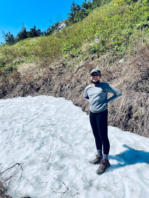
After the lunch feast, we were finally ready for some movement. The purpose of being in Whittier was not just to eat King crab legs but also attempt to hike the Portage Pass Trail, a 4.2 mile out and back hike located just at the edge of town before the tunnel. To make things even easier, we decided only to hike half of the 4.2 mile trail. We will return when we are topped out at the peak of the pass.
Our pass was good for all day so we drove the short distance to the trail head which is on a gravel road located just before the tunnel and south of the rail track. We located the trail and began the relentless uphill climb since the trails in Alaska are infamous for not having switchbacks.
Seward (pronounced Suward)
Seward is the fourth largest city in the Kenai Peninsula Borough with a population of 2,693 per the 2010 census. It is the gateway to adventures in the Kenai Fjord National Park and its surrounding wilderness including the Resurrection Bay. It is named after former US Secretary of State William H. Seward who orchestrated the purchase of Alaska from the Russian empire in 1867.
We entered Seward in the late afternoon around dinner time. We checked into our hotel (Seward Gateway Hotel) and went to town to look for where we could have dinner. To our surprise, the restaurants in town appeared to have run out of food. It's likely due to an influx of tourists and supply not able to catch up with demand. We ended up getting ramen noodles and orange chicken in the local grocery store Safeway. We heated up with noodles and the chicken in the mess hall of our hotel and called it a night shortly after.
 |
| fried rice, orange chicken, shin-ramen, and spinach |
 |
| Seward Harbor, close to 9:00 pm |
 |
| Checked in to the Gateway Hotel |
 |
| Calling it a night |
Next


Comments
Post a Comment